Built For
Every Rider.
From solo Sunday morning rides to 500-km Himalayan expeditions — RIDERSCONNECT has the tools your ride demands.
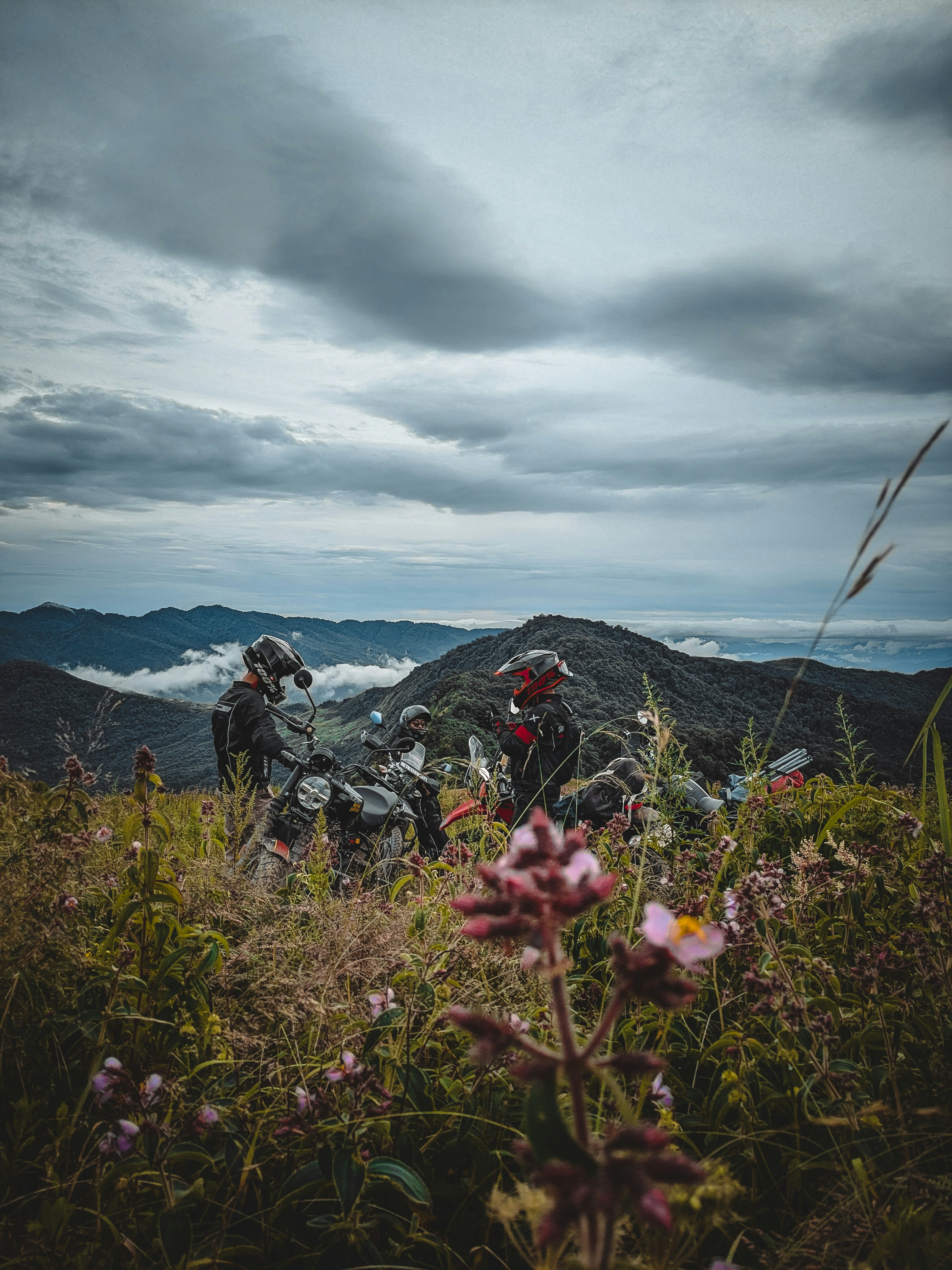
See Your Entire Pack. In Real-Time.
RIDERSCONNECT's live group riding engine broadcasts every rider's GPS position to the entire group every 3 seconds. Leader position, sweep rider status, distance gaps — all visible on one shared map.
- Leader and sweep rider designation
- Real-time distance gap indicators
- Route deviation alerts
- Automatic regrouping suggestions
- Works offline in low-signal zones

Plan Epic Rides In Minutes.
Create a fully planned ride with route, waypoints, fuel stops, and a rider list — in under 3 minutes. Share the invite link via WhatsApp or within the app.
- Route drawing with drag-and-drop waypoints
- Automatic fuel stop suggestions every 200 km
- Rider capacity and skill level settings
- Pre-ride briefing broadcast to all riders
- Weather forecast integration for route

One Tap. Every Rider Knows.
In an emergency, every second counts. The RIDERSCONNECT SOS system broadcasts your exact GPS coordinates to all riders in your group and your emergency contacts simultaneously.
- One-tap SOS broadcast to entire group
- GPS coordinates sent to emergency contacts
- Automatic SOS if phone goes silent for 15 min
- Nearest hospital and police station finder
- Ride leader notified with priority alert

Your Tribe. Your Identity.
Create or join riding clubs with full management tools. Club leaderboards, achievement badges, upcoming ride calendars, and a community feed keep your tribe connected 365 days a year.
- Club creation with custom branding
- Monthly KM leaderboards
- Achievement badges and ride certificates
- Upcoming rides calendar and RSVP
- Community feed with ride highlights
No Signal. No Problem.
Download full offline maps for any region before your ride. Turn-by-turn navigation, fuel stop locations, and route tracking all work without a data connection.
- Offline map download for any Indian state
- Fuel station database (even remote areas)
- Motorcycle-optimized routing (avoid highways)
- Elevation profiles for mountain routes
- Weather alerts for your route

Every KM Tells A Story.
After every ride, get a full analytics breakdown: total distance, elevation gained, average speed, fuel stops, and a full route replay. Share your ride certificate with your club.
- Full ride route replay with speed overlay
- Personal records and milestones
- Ride certificate with official stamp
- Monthly and yearly ride summaries
- Share highlights to community feed

Ready To Experience
All These Features?
Download RIDERSCONNECT for free and transform how you ride with your group.